Supported by





3 ขั้นตอนง่ายๆ สำหรับการประมวลผลภาพจากโดรนอย่างมืออาชีพ
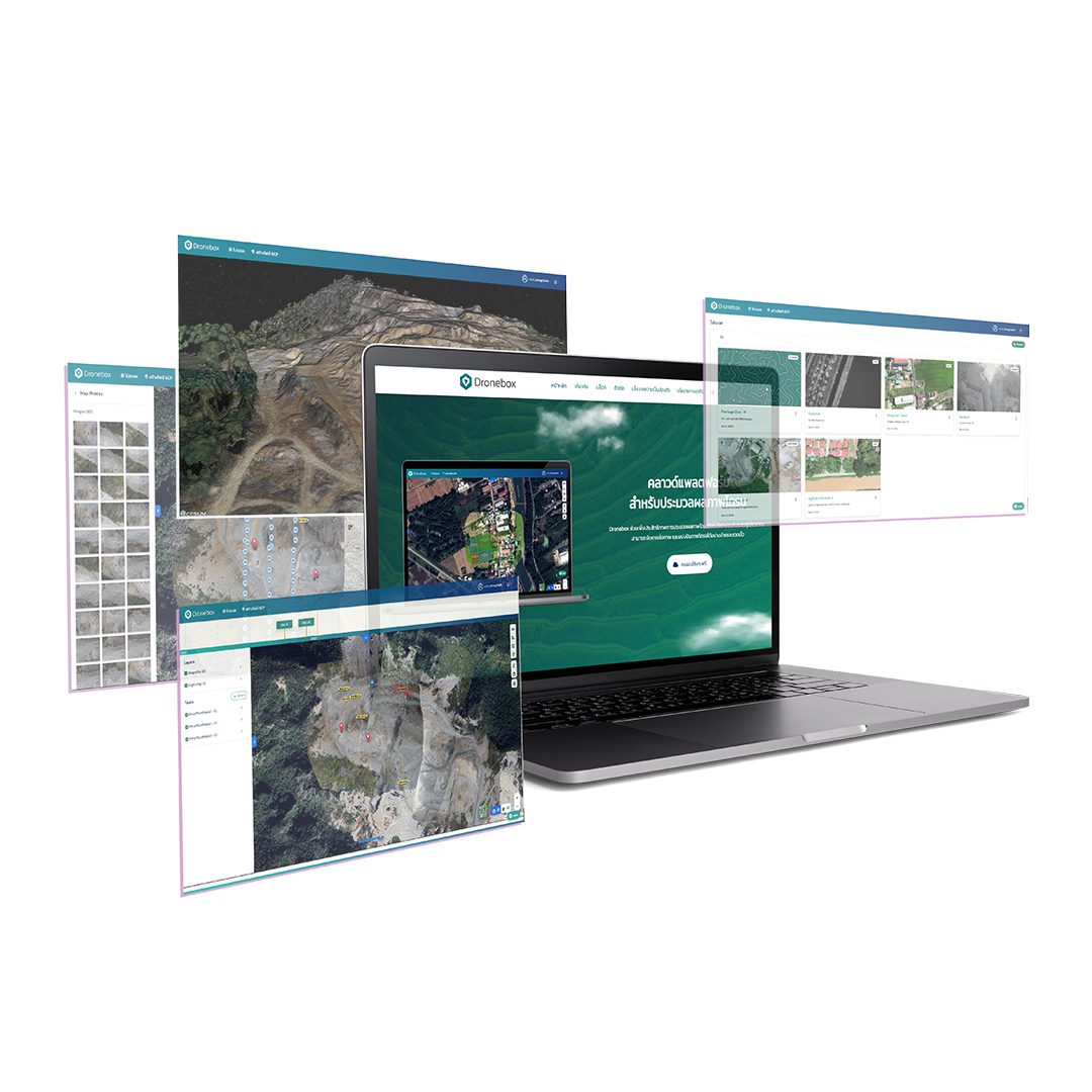
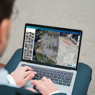
อัปโหลดไฟล์
ประมวลผลภาพ
วิเคราะห์ผลลัพธ์
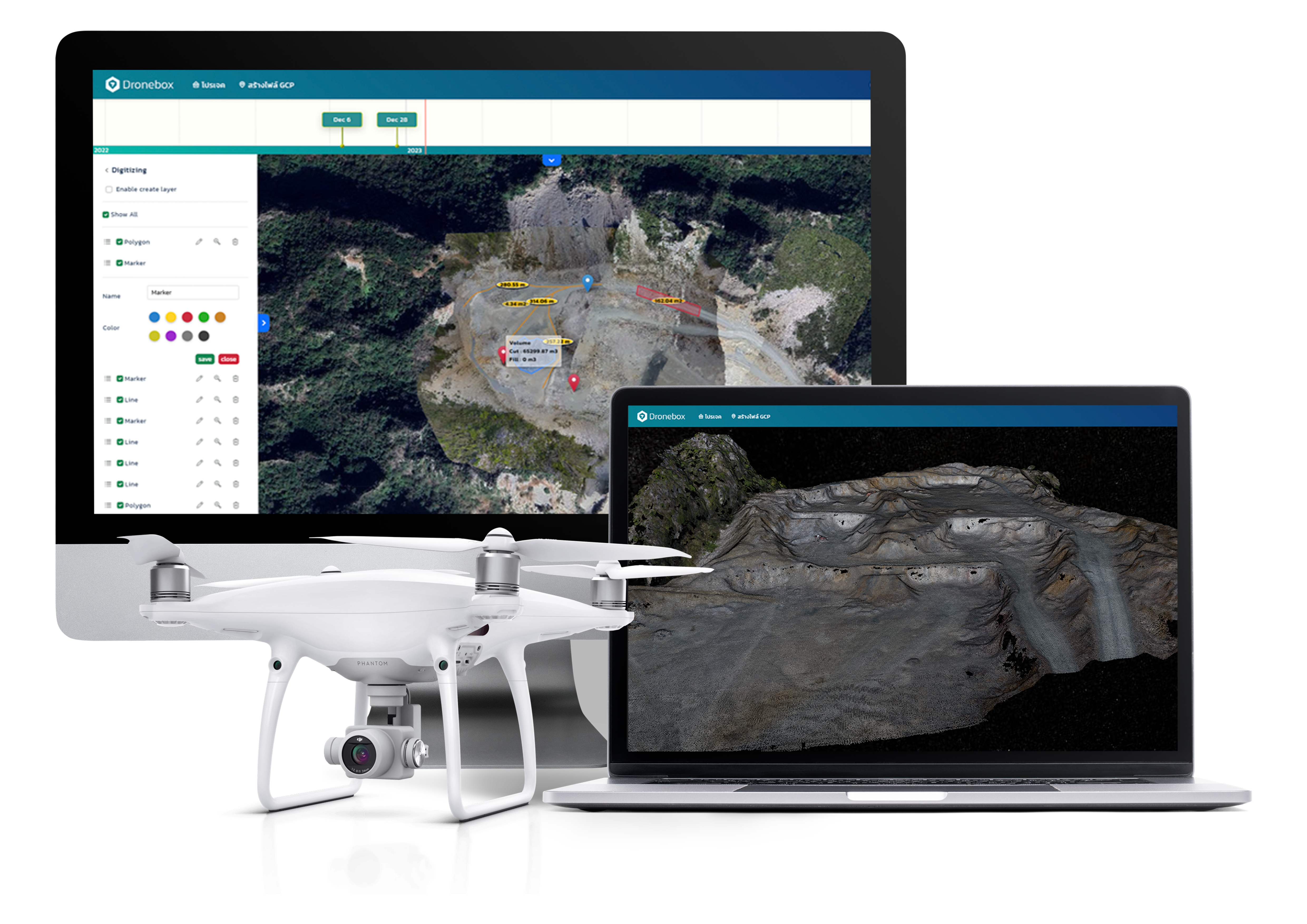
Dronebox สามารถทำอะไรให้คุณได้บ้าง?
• Orthophoto
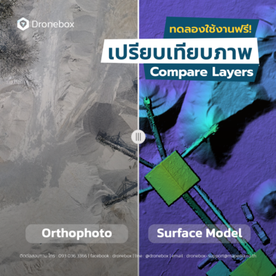
สร้างภาพถ่ายทางอากาศที่ถูกต้องตามภูมิศาสตร์
• Digital Elevation Model
สร้างแบบจำลองความสูงดิจิทัล (DEM) เพื่อวิเคราะห์ภูมิประเทศ
• 3D Model
สร้างแบบจำลองสามมิติของพื้นที่หรือวัตถุที่สนใจ
• Measurement Tools
เครื่องมือสำหรับการวัดระยะทาง พื้นที่ และปริมาตร
• Supports GIS work
รองรับการทำงานร่วมกับระบบสารสนเทศภูมิศาสตร์ (GIS)
นอกจากนี้ยังมีความสามารถอีกมากมายที่ยังไม่ได้กล่าวถึง ลองใช้งานวันนี้เลย!
เครื่องมือทางภูมิศาสตร์ใน Dronebox
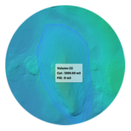
สร้างปริมาตร
การคำนวณปริมาตรกองหินภายในพื้นที่สำรวจเกี่ยวข้องกับการสำรวจภาคสนามร่วมกับการคำนวณทางคณิตศาสตร์ เพื่อกำหนดปริมาตรได้อย่างแม่นยำ จำเป็นต้องวัดรูปร่างของกองหินและคำนวณปริมาตรของมันให้ถูกต้อง
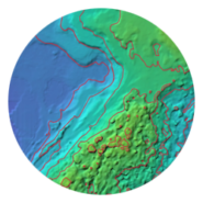
สร้างเส้นชั้นความสูง
เส้นชั้นความสูงคือเส้นบนแผนที่ที่เชื่อมต่อจุดที่มีระดับความสูงเท่ากัน ช่วยให้สามารถแสดงลักษณะภูมิประเทศและความสูงต่ำของพื้นที่ได้อย่างชัดเจนในรูปแบบภาพกราฟิก
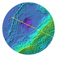
สร้างโปรไฟล์ความสูง
โปรไฟล์ความสูง หรือที่รู้จักกันในชื่อโปรไฟล์ภูมิประเทศหรือภาพตัดขวาง เป็นเครื่องมือที่มีประโยชน์สำหรับการแสดงภาพและวิเคราะห์การเปลี่ยนแปลงความสูงตลอดเส้นทางหรือเส้นที่กำหนดภายในพื้นที่สำรวจ
น่าสนใจ บทความล่าสุดในบล็อก
- 14 May 2018
- 0
การเพิ่มชั้นข้อมูล GIS Shapefile และ GeoJSON เพื่อซ้อนทับกับข้อมูลแผนที่ใน Dronebox
- 14 May 2018
- 0
การวางแผนการบินโดรน เพื่อคุณภาพการประมวลผลที่มีประสิทธิภาพ
บริการ สิ่งที่เราให้บริการ
เครื่องมือการวัด
ฟังก์ชันการวัด และแสดงผลของแผนที่ใน Dronebox ถูกออกแบบมาเพื่อเพิ่มความแม่นยำในการวิเคราะห์ และสำรวจพื้นที่ โดยมีเครื่องมือสำหรับวัดระยะทาง พื้นที่ ปริมาตร รวมถึงแสดงพิกัดทางภูมิศาสตร์ เพื่อการตรวจสอบภูมิประเทศอย่างละเอียด นอกจากนี้ยังสามารถซ้อนทับข้อมูลภูมิศาสตร์จากแหล่งอื่น ๆ และดูแผนที่ในมุมมอง 3 มิติ ช่วยให้การตัดสินใจ และการวางแผนเป็นไปอย่างมีประสิทธิภาพมากขึ้น
Read moreเครื่องมือการแสดงผลแผนที่
เครื่องมือการแสดงผลแผนที่ (Map Display Tools) คือฟังก์ชันที่ช่วยให้ผู้ใช้สามารถดูข้อมูลจากแผนที่ในรูปแบบต่าง ๆ และเพิ่มความสามารถในการวิเคราะห์ข้อมูลได้อย่างหลากหลาย:
Read moreผลลัพธ์ของแผนที่
Map Result (ผลลัพธ์ของแผนที่) เป็นส่วนสำคัญที่แสดงผลลัพธ์จากการประมวลผลภาพทางอากาศจากโดรน และให้ข้อมูลที่เป็นประโยชน์ในการวิเคราะห์พื้นที่
Read moreฟังก์ชันใหม่ของเรา
ในส่วนของ ฟังก์ชันใหม่ ได้ถูกพัฒนาเพื่อเพิ่มความสามารถและปรับปรุงประสบการณ์การใช้งานให้สะดวกและมีประสิทธิภาพมากขึ้นในการประมวลผลและวิเคราะห์ข้อมูลแผนที่ทางอากาศ ซึ่งฟังก์ชันใหม่เหล่านี้ประกอบด้วย
Read more